
See what aerial data can do for your project.
Explore the types of missions, imagery, inspections, maps, models, and visual outputs VV107 is structured to support as project requirements and technology needs are confirmed.
Capability examples—not invented client projects.
The visuals below represent service categories and potential applications. They do not claim completed client work, customers, or results. Every assignment is evaluated and scoped individually.
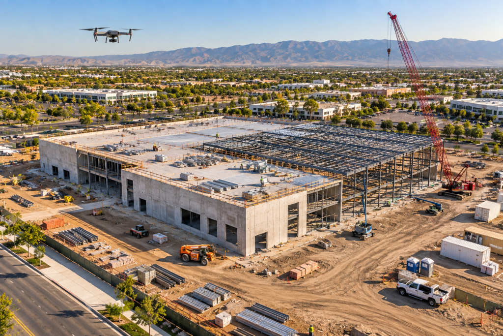
Progress & Site Documentation
Repeatable aerial viewpoints, milestone records, and stakeholder-ready visual updates.
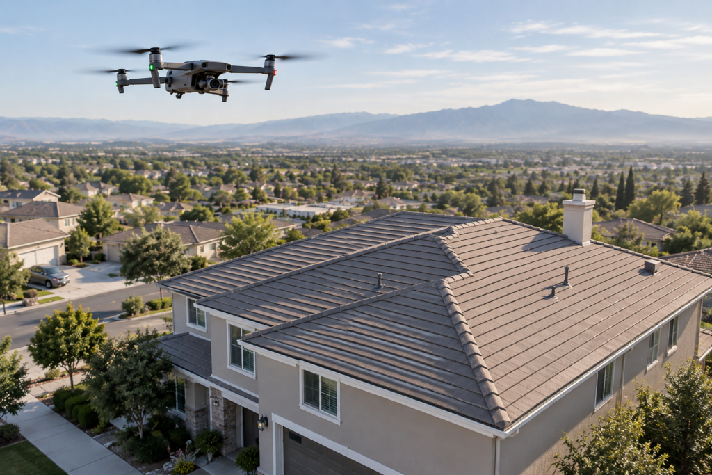
Roof & Property Imaging
Detailed views of roofs, exteriors, structures, and difficult-to-access areas.
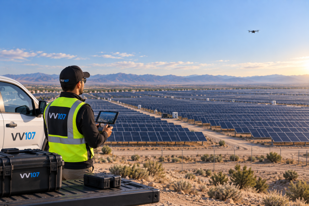
Solar & Thermal Applications
Visual and thermal inspection approaches for rooftop and utility-scale solar assets.
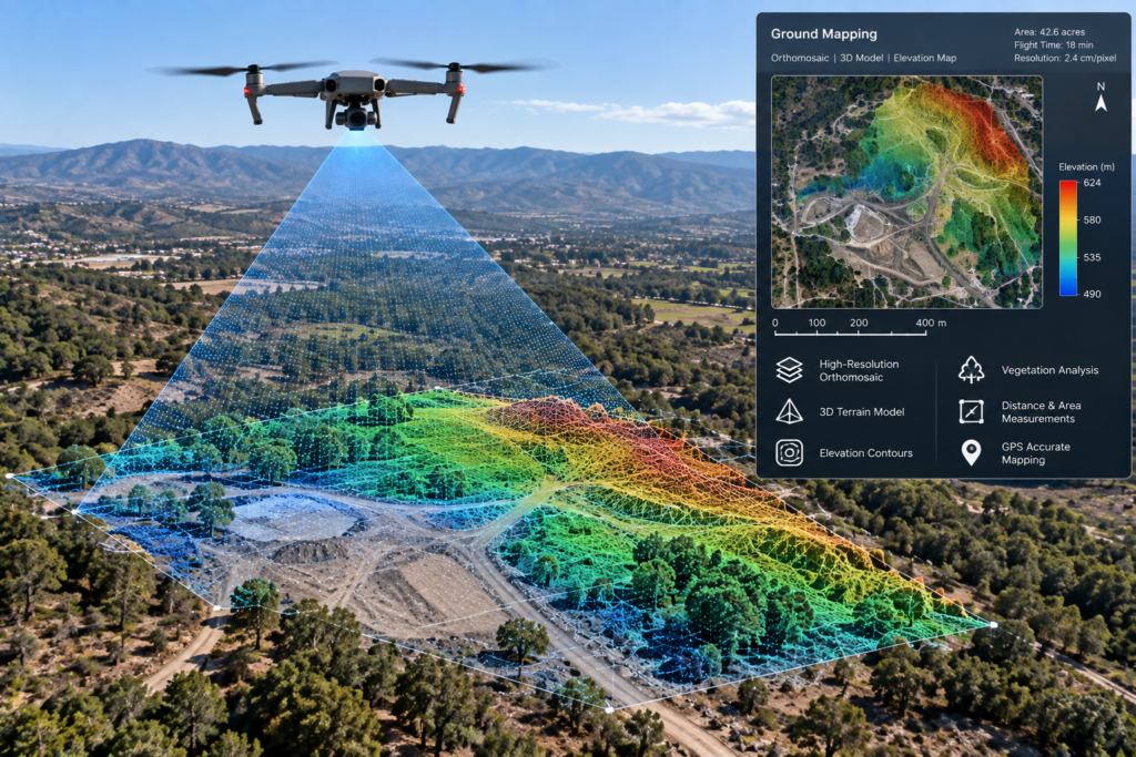
Mapping & 3D Modeling
Planned image capture for maps, models, site overviews, and measurable visual outputs.
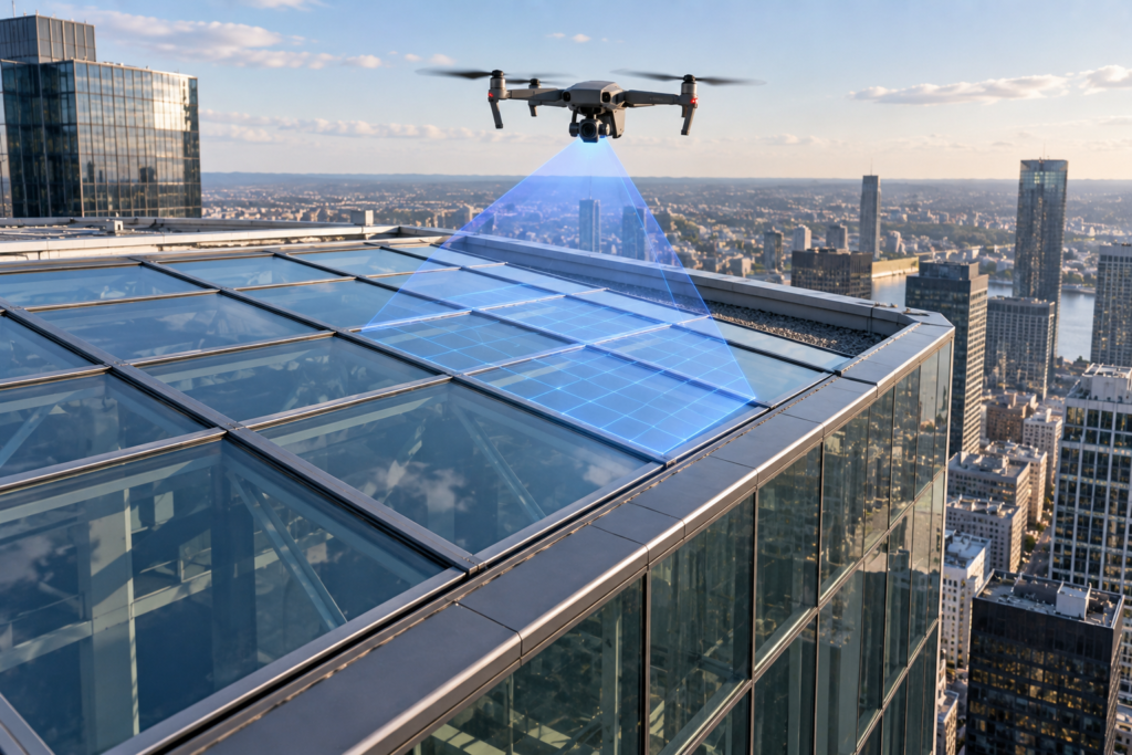
Utility & Asset Documentation
Aerial visual support for facilities, structures, corridors, and industrial assets.
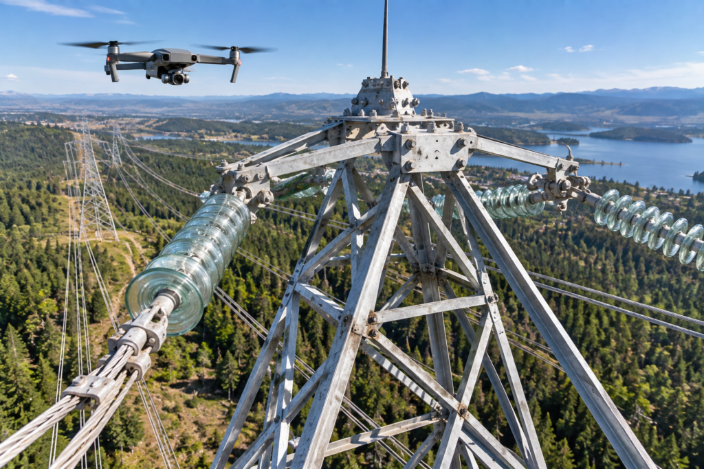
Agriculture & Environmental Imaging
Field, land, drainage, and environmental monitoring applications using suitable sensors.
Outputs built for the way your team works.
Imagery
Edited photos, organized inspection views, web-ready media, and high-resolution files.
Video
Edited aerial sequences, progress clips, location overviews, and commercial media.
Data Products
Maps, models, thermal outputs, and sensor-derived products when included in the confirmed scope.
Define the outcome you need.
VV107 will help translate your objective into a practical mission and delivery plan.
See what aerial data can do for your project.
Explore the types of missions, imagery, inspections, maps, models, and visual outputs VV107 is structured to support as project requirements and technology needs are confirmed.
Capability examples—not invented client projects.
The visuals below represent service categories and potential applications. They do not claim completed client work, customers, or results. Every assignment is evaluated and scoped individually.
Progress & Site Documentation
Repeatable aerial viewpoints, milestone records, and stakeholder-ready visual updates.
Roof & Property Imaging
Detailed views of roofs, exteriors, structures, and difficult-to-access areas.
Solar & Thermal Applications
Visual and thermal inspection approaches for rooftop and utility-scale solar assets.
Mapping & 3D Modeling
Planned image capture for maps, models, site overviews, and measurable visual outputs.
Utility & Asset Documentation
Aerial visual support for facilities, structures, corridors, and industrial assets.
Agriculture & Environmental Imaging
Field, land, drainage, and environmental monitoring applications using suitable sensors.
Outputs built for the way your team works.
Imagery
Edited photos, organized inspection views, web-ready media, and high-resolution files.
Video
Edited aerial sequences, progress clips, location overviews, and commercial media.
Data Products
Maps, models, thermal outputs, and sensor-derived products when included in the confirmed scope.
Define the outcome you need.
VV107 will help translate your objective into a practical mission and delivery plan.