
Professional drone capabilities for real-world operations.
Based in Bakersfield, California — serving clients and projects throughout California. VV107 scopes each mission around the site, objective, timeline, and deliverables rather than a one-size-fits-all package.
Services designed to grow with market demand.
From visual media to specialized data capture, the service structure can expand with appropriate equipment, sensors, software, training, and confirmed operating capabilities.
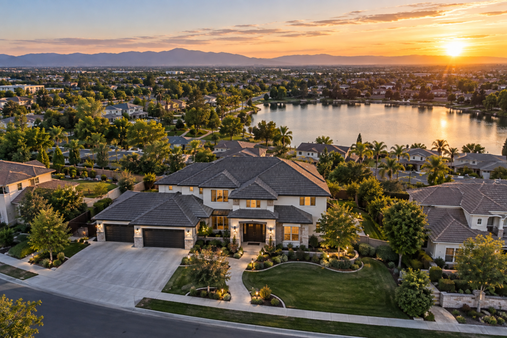
Aerial Photography & Video
High-resolution photography and cinematic footage for property, business, marketing, tourism, and communications.
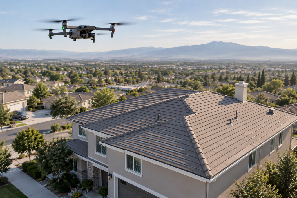
Property & Roof Inspections
Detailed visual capture of roofs, façades, structures, and difficult-access areas.
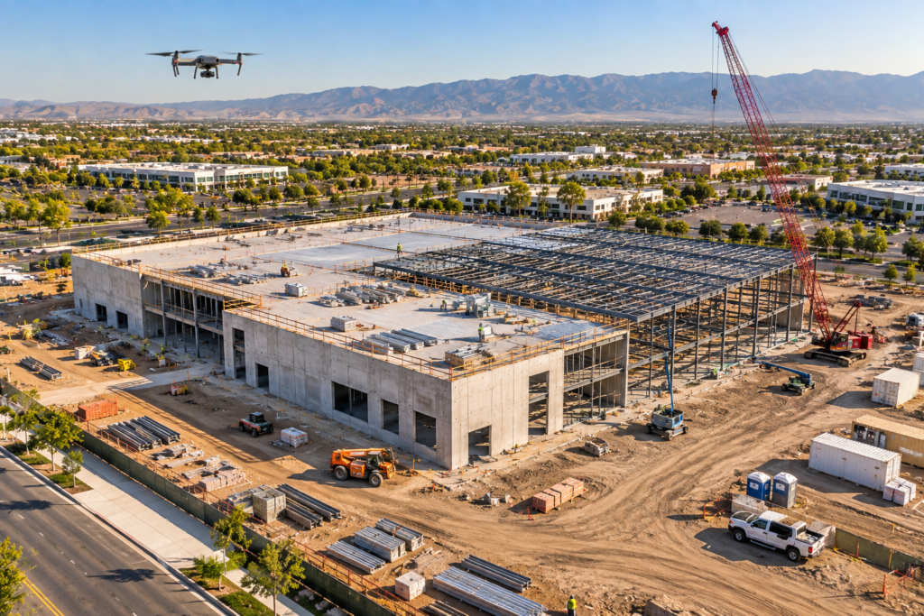
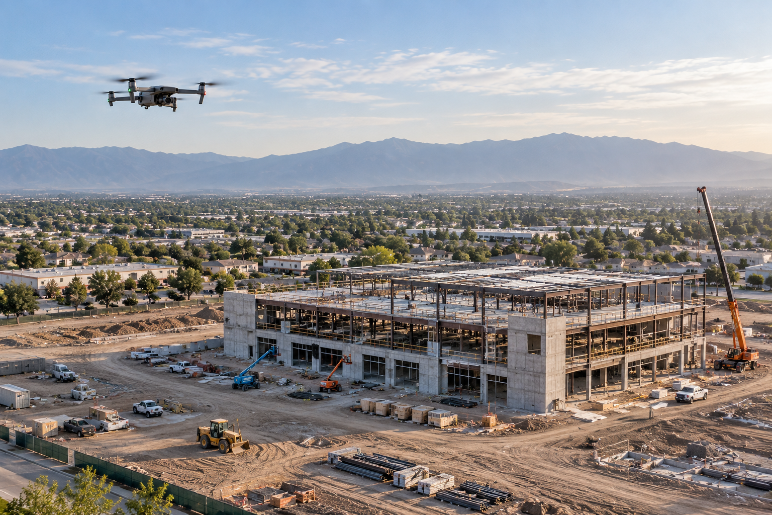
Construction Progress & Documentation
Repeatable site views for milestones, records, stakeholder reporting, and comparison over time.
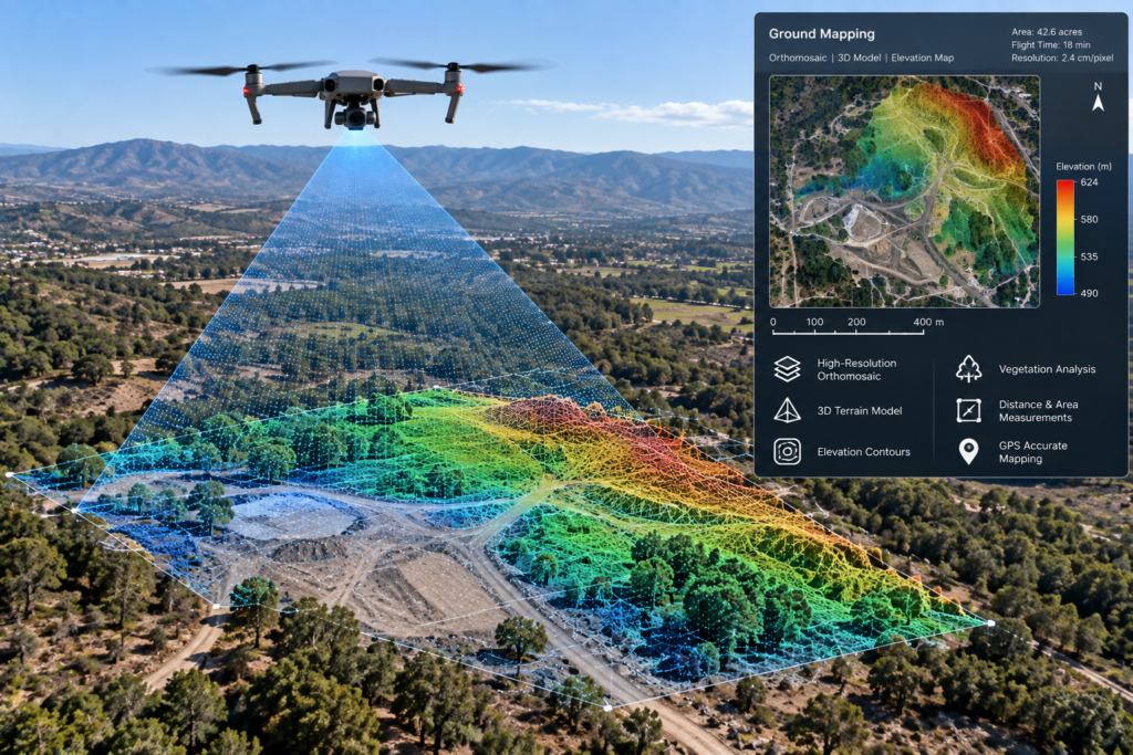
Drone Mapping & 3D Modeling
Project-scoped mapping, orthomosaic-style outputs, models, and organized site datasets.
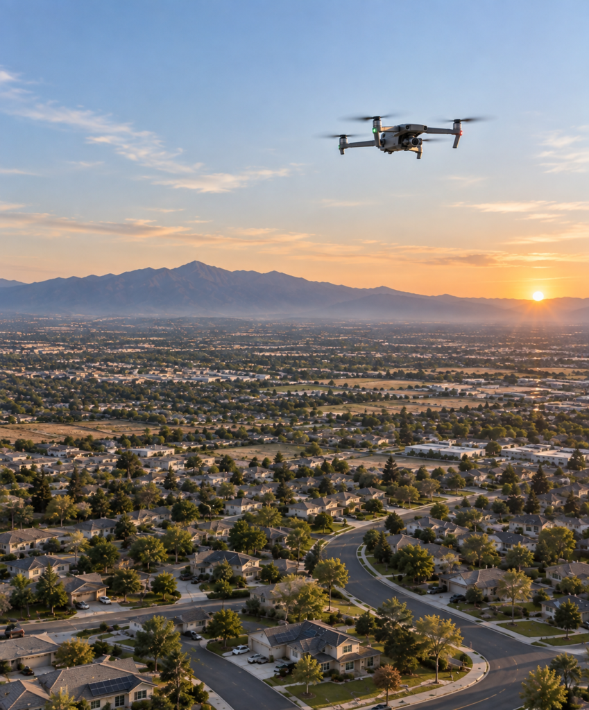
Thermal Imaging & Inspections
Thermal capture for compatible applications when appropriate resources and project conditions are confirmed.
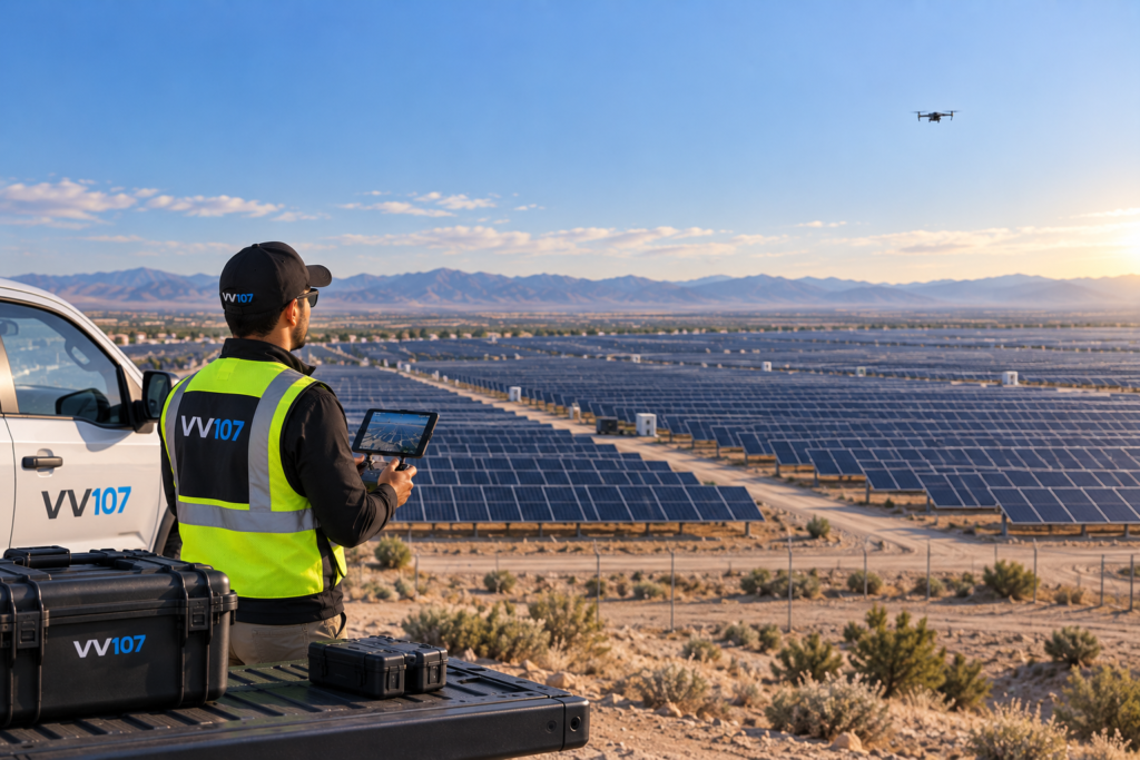
Solar & Energy Inspections
Visual and thermal documentation approaches for rooftop solar, solar farms, and energy assets.
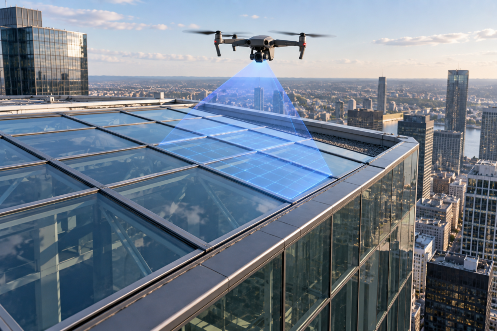
Infrastructure & Utilities
Aerial documentation for towers, lines, facilities, structures, and other project-scoped assets.
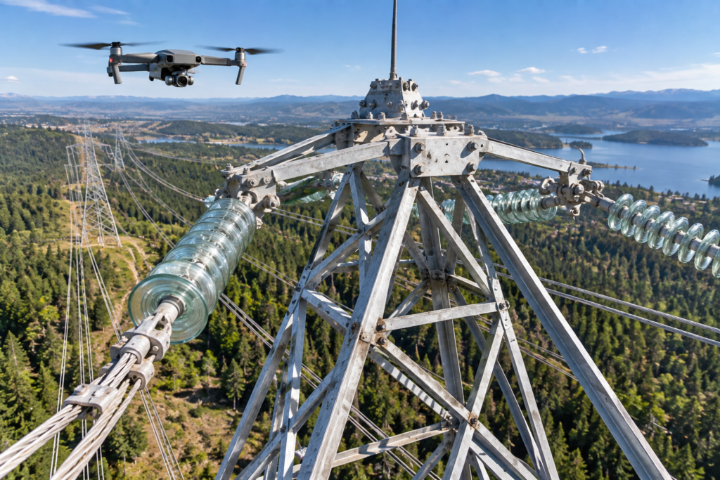
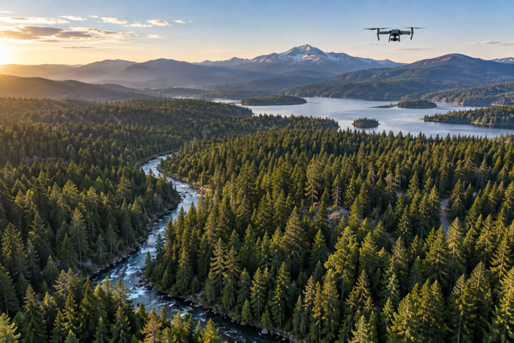
Agriculture & Environmental
Field, land, drainage, vegetation, and environmental imaging using an appropriate workflow.
Commercial & Industrial Services
Mission planning and visual documentation for facilities, operations, assets, and project teams.
Events & Custom Missions
Professional aerial event coverage and custom projects shaped around a defined objective.
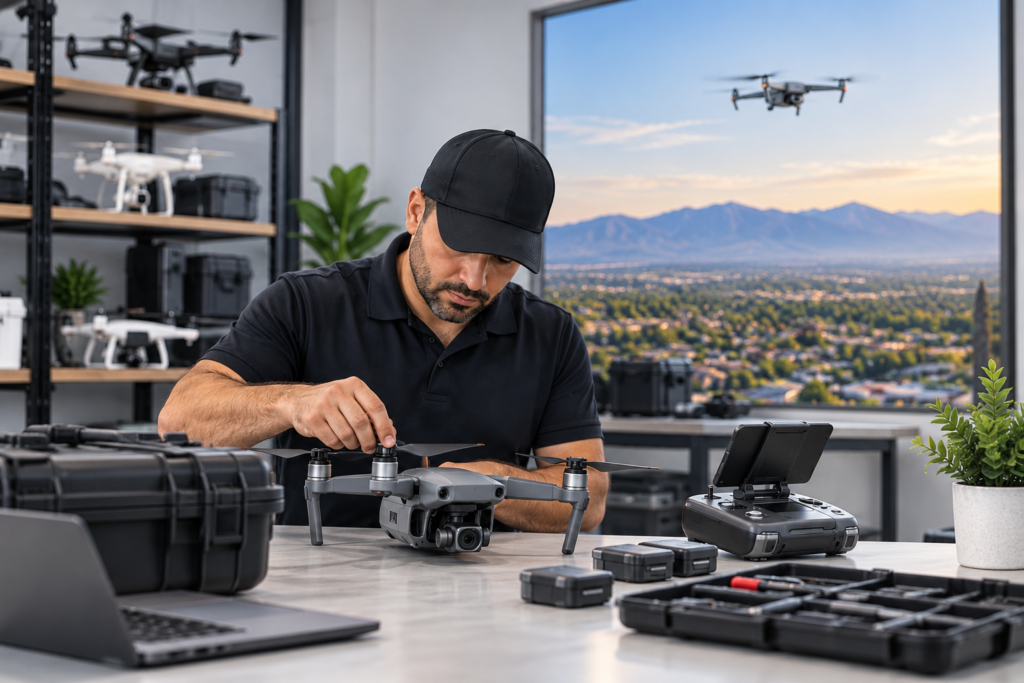
From capture to useful visual data.
Potential deliverables include edited photos, aerial video, organized inspection imagery, progress comparisons, site overviews, and other agreed outputs. Exact deliverables depend on the approved scope and confirmed capabilities.
Request My Quote →Shop drones and common accessories.
VV107 now features a focused equipment shop with current DJI consumer and prosumer options plus everyday accessories. Availability is confirmed directly; the storefront is structured to expand as real products and business capabilities are added.
Explore the Shop →Have a mission in mind?
Share the location, objective, timeline, site size, and deliverables you need.
Request My Quote →Professional drone capabilities for real-world operations.
VV107 supports commercial, industrial, property, construction, energy, agricultural, and environmental needs with project-specific aerial services and a scalable technology approach.
Services designed to grow with market demand.
Each mission is scoped around the client’s objective, site conditions, required deliverables, and the equipment, sensors, software, permissions, and specialists needed for the work.
Aerial Photography & Video
High-resolution photos and professional video for real estate, marketing, tourism, events, land, facilities, and business communications.
Property & Roof Inspections
Detailed visual capture of roofs, façades, structures, drainage areas, and difficult-to-reach exterior components.
Construction Progress & Documentation
Repeatable site views, milestone records, stakeholder updates, marketing media, and visual progress comparisons.
Drone Mapping & 3D Modeling
Project-scoped orthomosaic mapping, site models, elevation products, and visual measurements using appropriate capture and processing workflows.
Thermal Imaging & Inspections
Radiometric or visual thermal capture for compatible building, electrical, mechanical, and operational applications when required equipment and conditions are available.
Solar Panel & Solar Farm Inspections
Aerial visual and thermal imaging approaches for rooftop arrays and utility-scale solar sites, scoped to the inspection objective.
Infrastructure & Utility Inspections
Visual documentation for towers, lines, industrial structures, facilities, and other assets, subject to site access and applicable operating requirements.
Agriculture & Environmental Imaging
Field overview, crop and land documentation, drainage observation, environmental monitoring, and sensor-specific imaging options.
Commercial & Industrial Drone Services
Custom recurring or one-time missions for facilities, contractors, developers, insurers, energy teams, and operational stakeholders.
Custom Drone Solutions
Mission planning around unique capture, reporting, sensor, software, integration, scheduling, or deliverable requirements.
From raw capture to useful visual data.
Depending on the project, a scoped delivery may include:
A future shop built around professional drone operations.
VV107 is structured to support future sales of drones, enterprise aircraft, cameras and payloads, thermal equipment, RTK and mapping tools, batteries, chargers, parts, cases, controllers, safety equipment, and used or refurbished equipment. Products will only be listed when actual inventory, condition, pricing, and sales terms are confirmed.
Visit the Shop section →Have a mission in mind?
We’ll help define the scope, required technology, and right deliverables.
Professional drone capabilities for real-world operations.
VV107 supports commercial, industrial, property, construction, energy, agricultural, and environmental needs with project-specific aerial services and a scalable technology approach.
Services designed to grow with market demand.
Each mission is scoped around the client’s objective, site conditions, required deliverables, and the equipment, sensors, software, permissions, and specialists needed for the work.
Aerial Photography & Video
High-resolution photos and professional video for real estate, marketing, tourism, events, land, facilities, and business communications.
Property & Roof Inspections
Detailed visual capture of roofs, façades, structures, drainage areas, and difficult-to-reach exterior components.
Construction Progress & Documentation
Repeatable site views, milestone records, stakeholder updates, marketing media, and visual progress comparisons.
Drone Mapping & 3D Modeling
Project-scoped orthomosaic mapping, site models, elevation products, and visual measurements using appropriate capture and processing workflows.
Thermal Imaging & Inspections
Radiometric or visual thermal capture for compatible building, electrical, mechanical, and operational applications when required equipment and conditions are available.
Solar Panel & Solar Farm Inspections
Aerial visual and thermal imaging approaches for rooftop arrays and utility-scale solar sites, scoped to the inspection objective.
Infrastructure & Utility Inspections
Visual documentation for towers, lines, industrial structures, facilities, and other assets, subject to site access and applicable operating requirements.
Agriculture & Environmental Imaging
Field overview, crop and land documentation, drainage observation, environmental monitoring, and sensor-specific imaging options.
Commercial & Industrial Drone Services
Custom recurring or one-time missions for facilities, contractors, developers, insurers, energy teams, and operational stakeholders.
Custom Drone Solutions
Mission planning around unique capture, reporting, sensor, software, integration, scheduling, or deliverable requirements.
From raw capture to useful visual data.
Depending on the project, a scoped delivery may include:
A future shop built around professional drone operations.
VV107 is structured to support future sales of drones, enterprise aircraft, cameras and payloads, thermal equipment, RTK and mapping tools, batteries, chargers, parts, cases, controllers, safety equipment, and used or refurbished equipment. Products will only be listed when actual inventory, condition, pricing, and sales terms are confirmed.
Visit the Shop section →Have a mission in mind?
We’ll help define the scope, required technology, and right deliverables.