
Professional Drone Services Built Around Your Project
Commercial aerial imaging, inspections, construction documentation, mapping, thermal capture, and data solutions for clients and project teams throughout California.
Aerial intelligence. Practical results.
Based in Bakersfield, California — serving clients and projects throughout California. Every mission is scoped around your site, objective, timeline, and required deliverables.
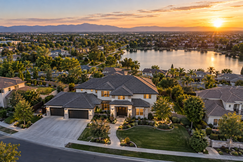
Aerial Photography & Video
High-resolution imagery and cinematic footage for property, business, tourism, marketing, and project communications.
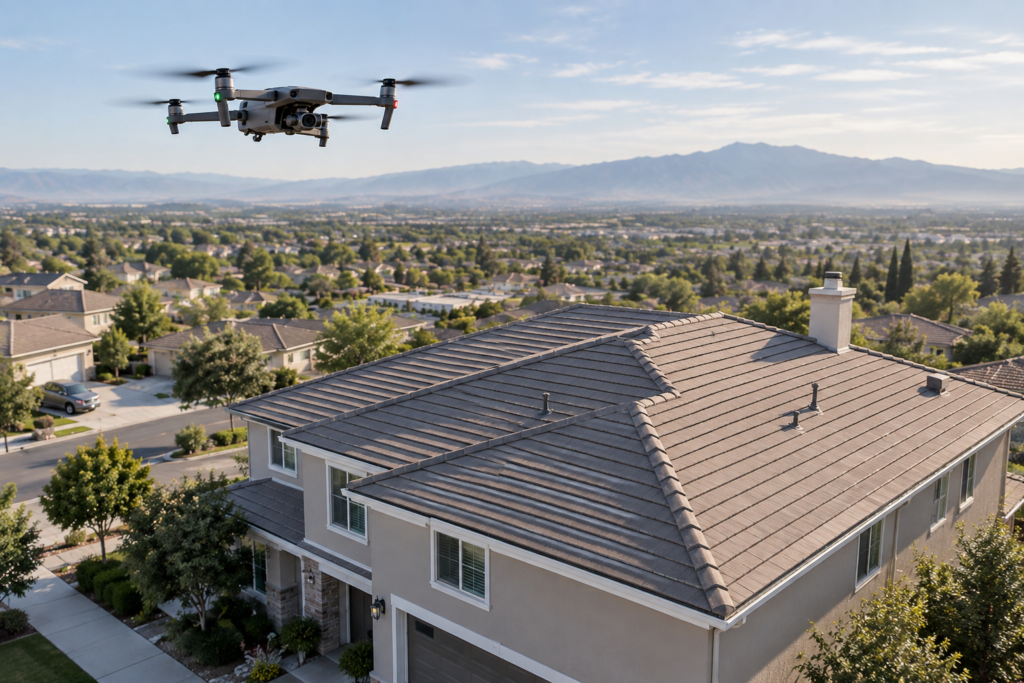
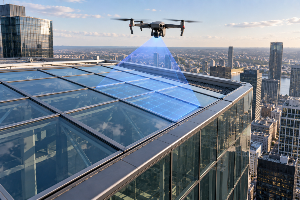
Roof & Property Inspections
Detailed visual documentation of roofs, façades, structures, and areas that are difficult or unsafe to access.
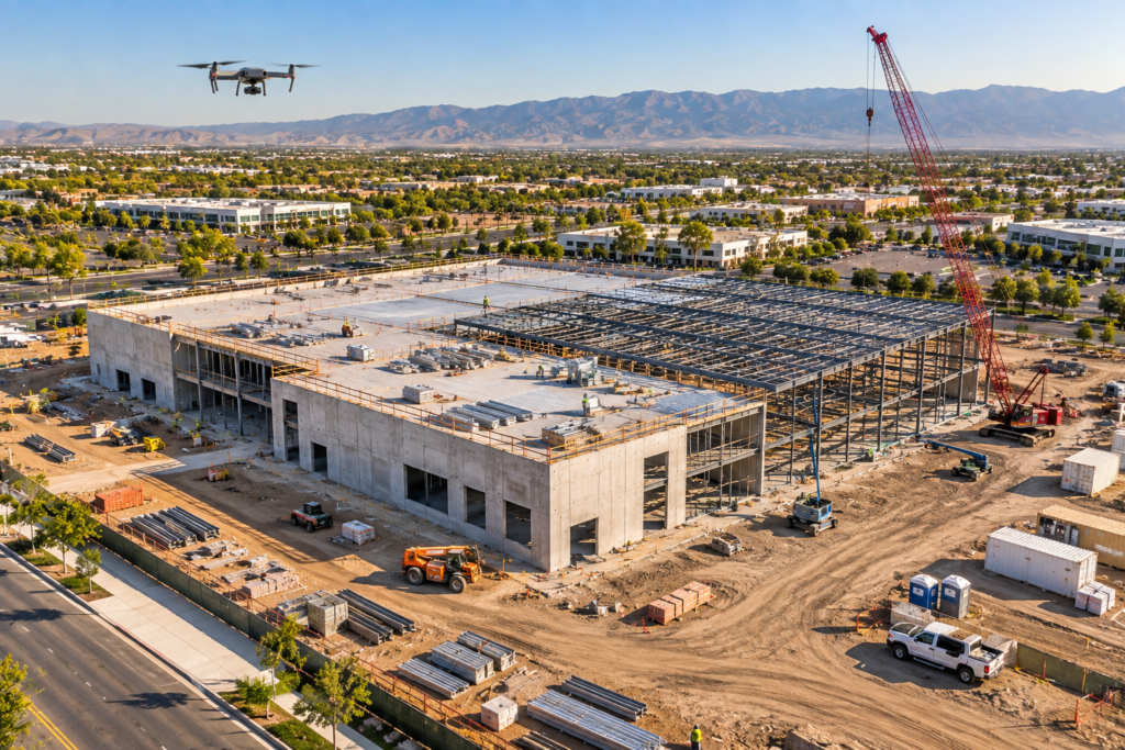
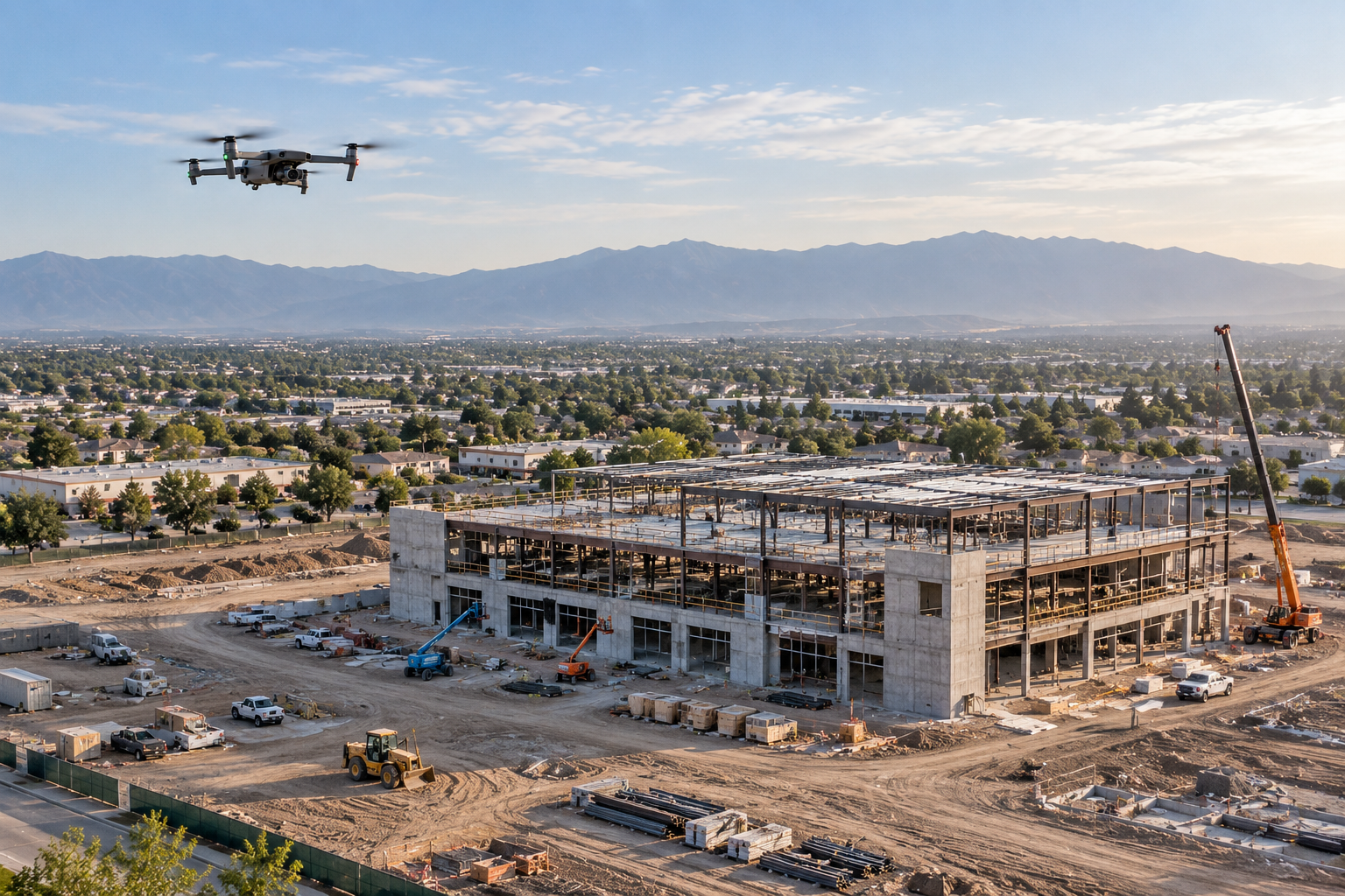
Construction Progress
Repeatable aerial views for milestones, stakeholder updates, site records, and progress comparison.
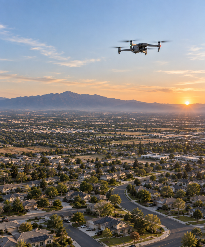
Thermal Imaging
Thermal capture for compatible inspection applications and documentation of visible temperature anomalies.
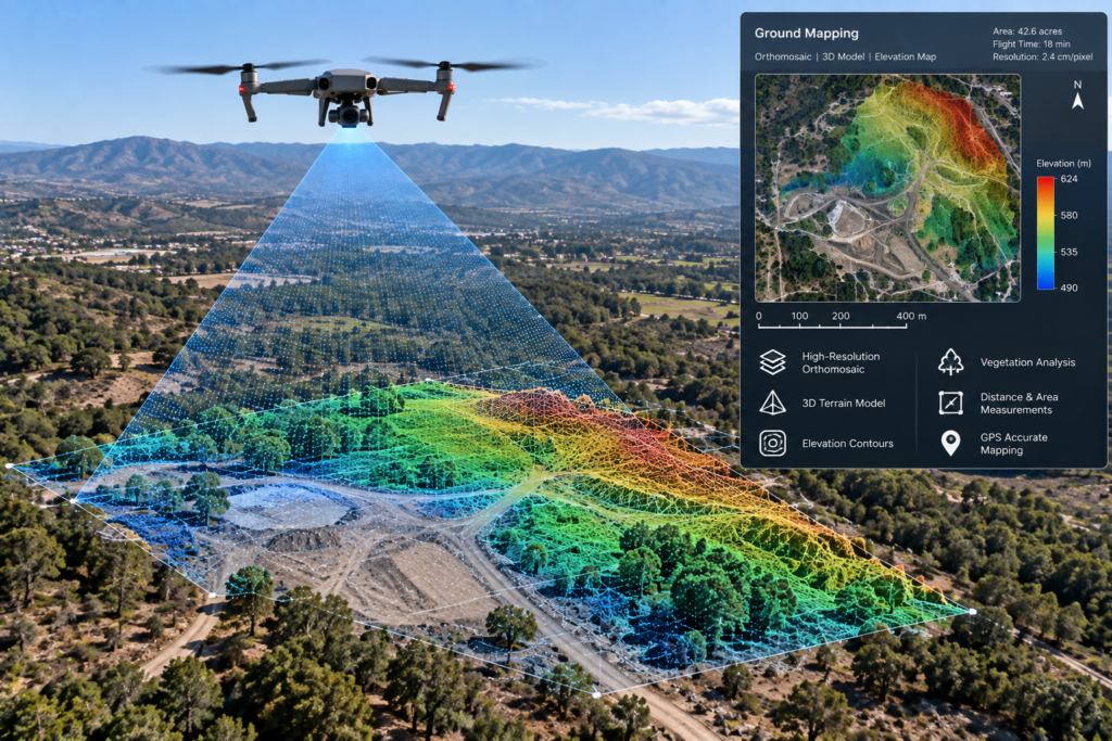
Mapping & Site Documentation
Site overviews, mapping workflows, and organized visual datasets for planning and documentation.
Events & Custom Missions
Professional aerial coverage for events and custom assignments with mission-specific planning.
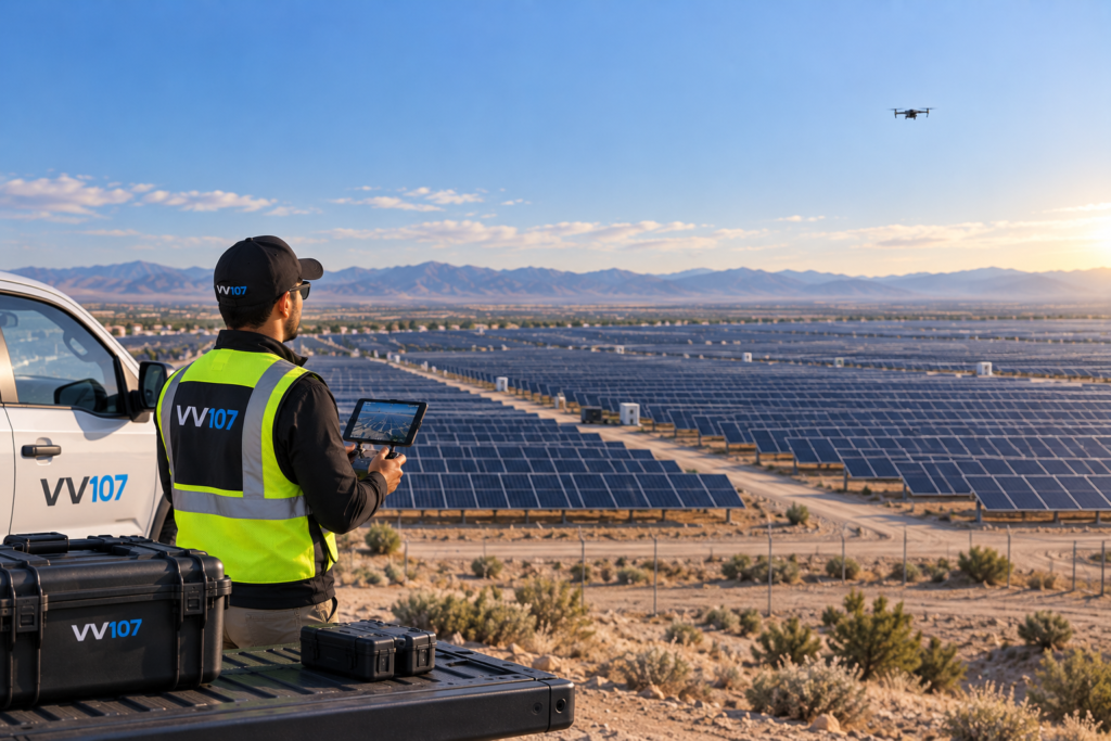
Solar & Energy Inspections
Visual and thermal approaches for rooftop systems and solar farms when project resources are confirmed.
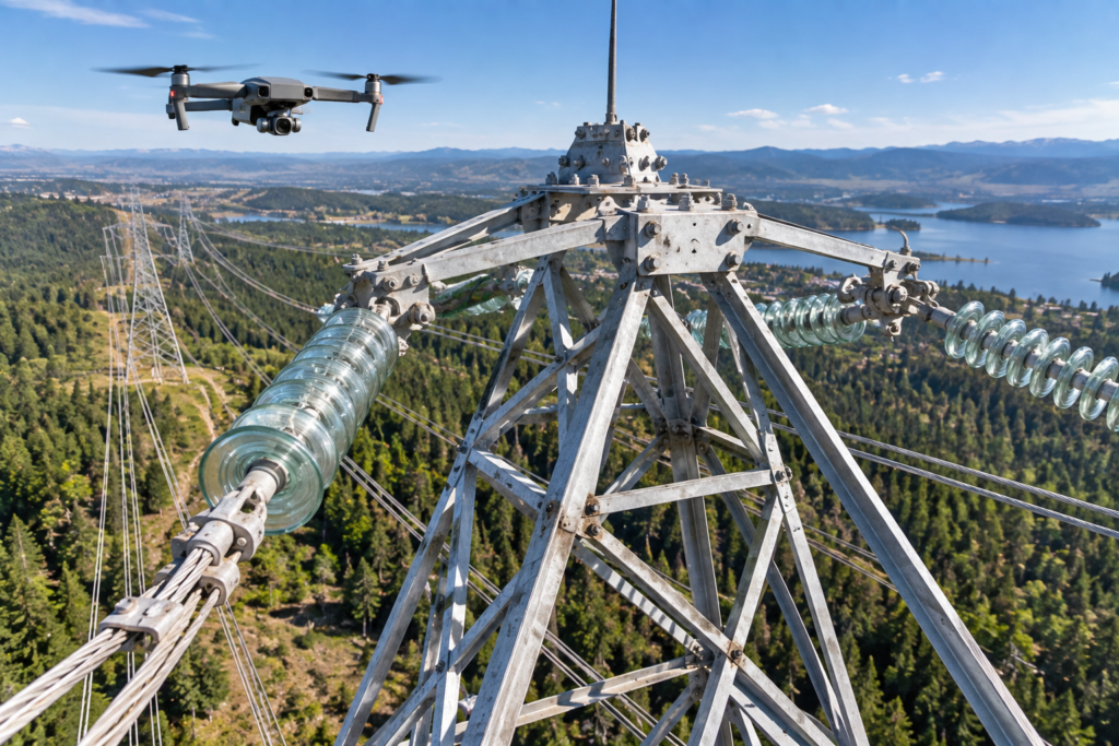
Infrastructure & Utilities
Project-scoped documentation for facilities, towers, lines, structures, and industrial assets.
Agriculture & Environmental
Field, land, drainage, and environmental imaging using the appropriate platform and sensor workflow.
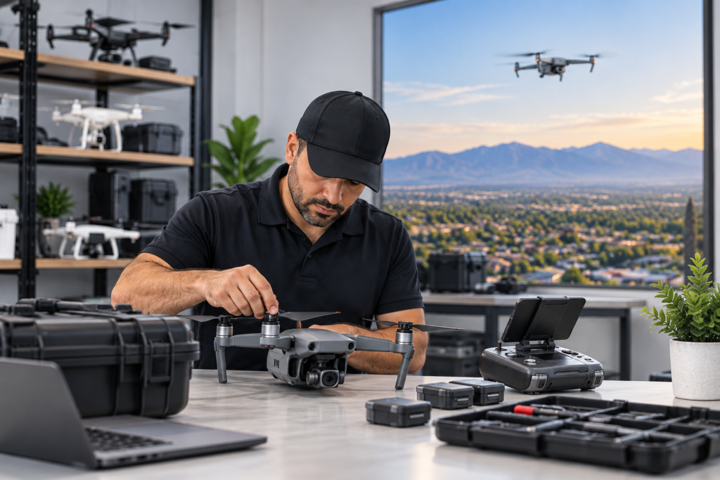
Mission planning around the result you need.
VV107 combines structured flight planning with a clear focus on what clients need after capture: useful, organized results delivered for the project.
Site, airspace, weather, access, and mission requirements reviewed before flight.
Each shot list and flight path supports a defined objective.
Organized files prepared for your team, report, listing, or presentation.
One-time missions and recurring documentation plans can be discussed.
A straightforward path from request to delivery.
Tell us the goal
Share the location, objective, preferred timing, and deliverables.
Scope the mission
VV107 reviews access, conditions, and capture requirements.
Flight & capture
The mission follows a project-specific image or data plan.
Delivery
You receive the agreed media and project deliverables.
Shop drones and everyday accessories.
Explore a focused selection of DJI consumer and prosumer drones, plus batteries, chargers, propellers, filters, cases, memory cards, and common accessories. Availability is confirmed individually—no unverified inventory or dealer claims.
Ready to plan your drone project?
Tell us the location, objective, timeline, and deliverables you need.